
News that I miss, courtesy of The Babylon Bee:
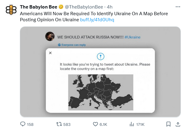
U.S. – A new social media initiative will require Americans to identify Ukraine on a map before being able to post an opinion about Ukraine on the internet.
Before American internet users can tweet or create a Facebook post demanding immediate U.S. intervention in the foreign dispute in Ukraine, they will be required to click the country on an unlabeled map of Europe.
“It looks like you’re trying to tweet about Ukraine. Please locate the country on a map first,” reads Twitter’s pop-up warning that displays when someone tries to tweet about the country. Facebook’s algorithms will filter out posts by boomers filled with U.S. flags and eagle emojis demanding we start World War III over the issue unless those boomers can accurately identify where Ukraine is on the map.
“This won’t, of course, stop all of the bad opinions from getting out there,” said one analyst. “But it should filter out something like 98% of the uninformed rhetoric on the conflict. And, in some small way, it will increase American knowledge of geography, which is never a bad thing.”
Go here to read the rest.


The Department of Education has done such a good job.
I always hope people in these videos are joking. Especially the ones who can’t find Russia…
I’d be interested to see if people do better when asked to find Russia first, then Ukraine. I still don’t think a lot would find Ukraine, but I’d think they could do Russia.
I can’t find any decent stats about which countries Americans can find. I’d assume we do better on the big ones: US, Canada, Mexico, India, China, Russia, Brazil. I’ll admit I’d be guessing between Ukraine and Belarus until very recently.
[…] Analysis, Punditry, and News:“God Uses Wars to Teach Americans About Geography” Ambrose “Bitter” Bierce – TACatholicAn Educated Priest can Introduce Himself to Laypeople, Speak to Them About God […]
My Catholic school (then and now BTW) begins some world geography in gr. 3, then state geography (gr. 4), exploration and settlement (gr. 5), world geography again (gr. 6-7) for ancient and medieval history, then US geography for US history (gr. 8). I also went over stuff during earth science and Bible history. My peers at the high school where I once taught begin every year in history with some pertinent review. Yet I fear geography’s too often something we learn to please Teacher then forget once we enter the “real world”.
When I was a kid, I used tracing paper and pencil with maps of the world to trace outlines of countries and create fictional empires. So I learned where most countries were located simply out of fun. The pre-computer age had its advantages.
Back in the late 1950’s, a bridge was built in Auckland across the harbour to the North shore. It was quite common – even into the 1970’s – that American visitors would ask, “How are you getting on with that bridge from Auckland to Sydney?’
Of course, Sydney is in Australia – 1200 miles away across the Tasman sea – one of the roughest stretches of water in the world. 😆
One of my favorite electives in university was economic geography. The maps at AAA is the best thing about the company. Used to be the towing when the boys’ vintage vehicles would break down. We’re leaving for Lafayette Thursday for Mardi Gras out in the country. I’ll be asking my husband to stop at the different state Welcome Centers so I can pick up the latest state maps.
CAM, thanks for the tip. Didn’t realize anyone was still making paper maps…🤷♂️